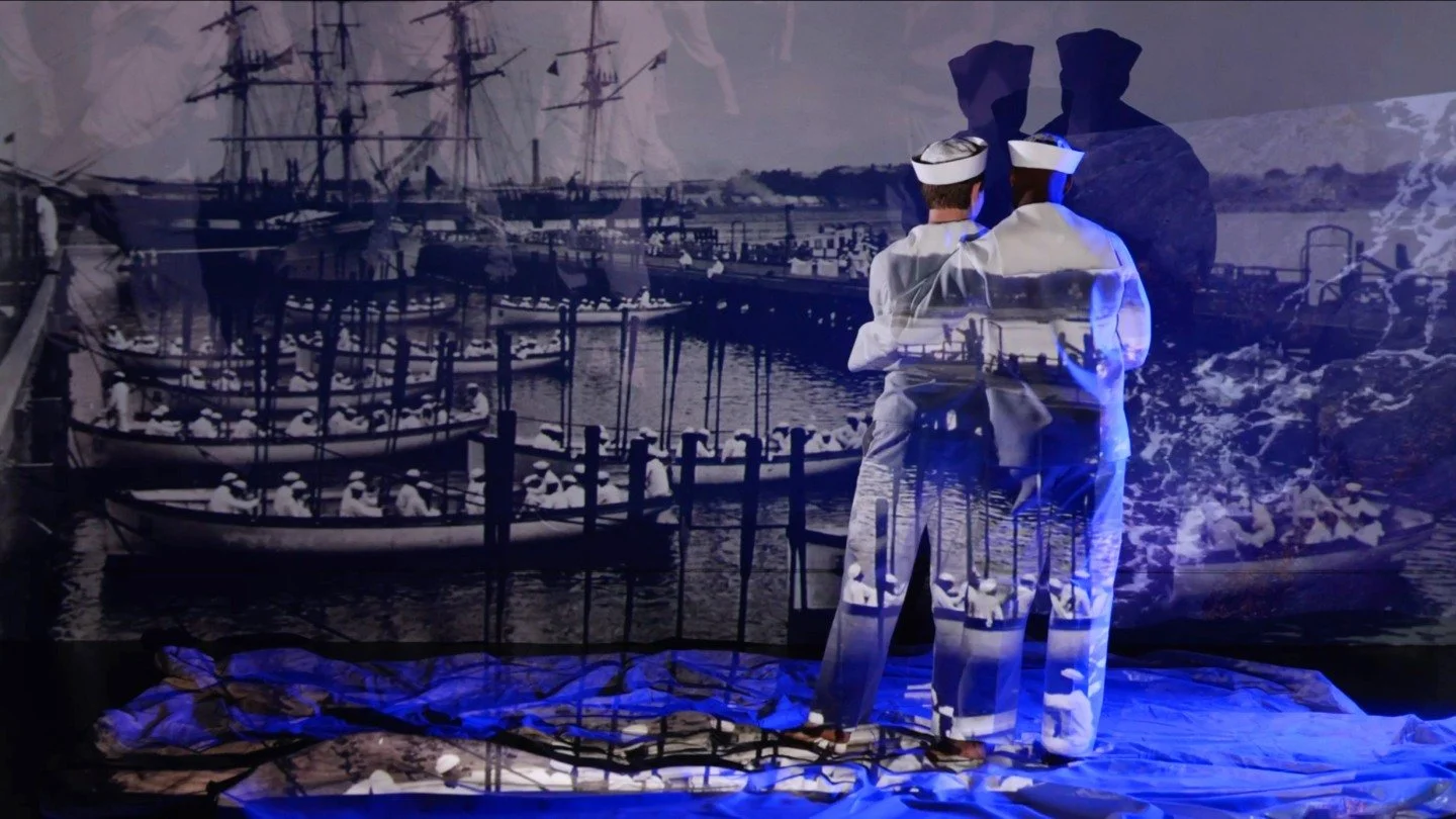

20S x Fragments in Time | Marcia Allert & Ashley Gilbertson in Conversation
$20 Suggested Donation
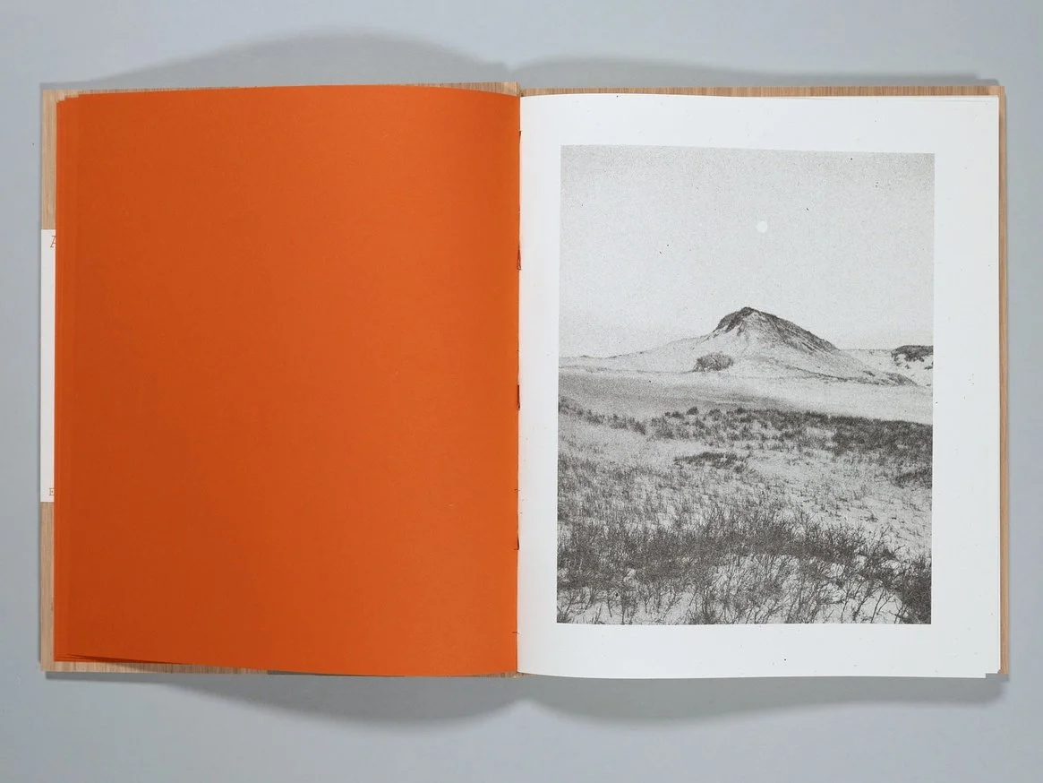
Featured Fragments in Time photographer Ashley Gilbertson sits down with Marcia Allert, whose career in visual storytelling brings a unique and discerning perspective to this dialogue.
Allert has spent her career shaping how we see the world through images—championing photographers and guiding visual narratives that capture both truth and humanity. Together, Allert and Gilbertson will explore the stories behind his images, the ethics and emotions of witnessing, and the lasting impact of photography on how we remember and reflect.

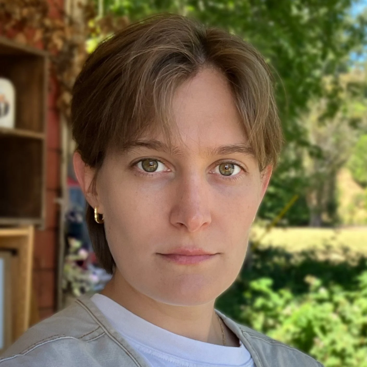
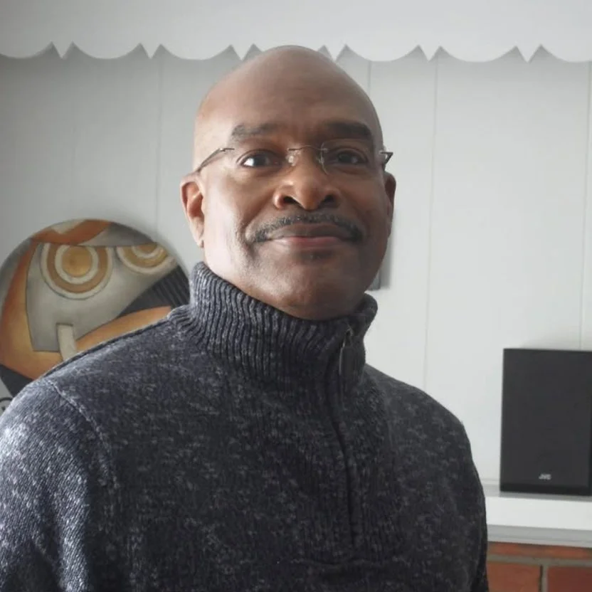
Marcia L. Allert is the vice president of the W Eugene Smith Memorial Fund and former Director of Visual Journalism for The Dallas Morning News, where she oversaw a team of award-winning visual journalists and editors from 2016 to 2021.
She’s worked at the Associated Press, ABC News, The New York Times, and The Daily Beast. She is also a TEDxSMU speaker and has served on the Pulitzer photo jury, and was on the judging committee for CPOY, Hearst Photojournalism competition, and POYi. Currently, she works at Apple.

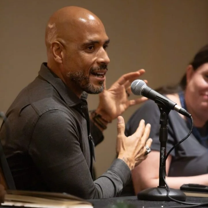
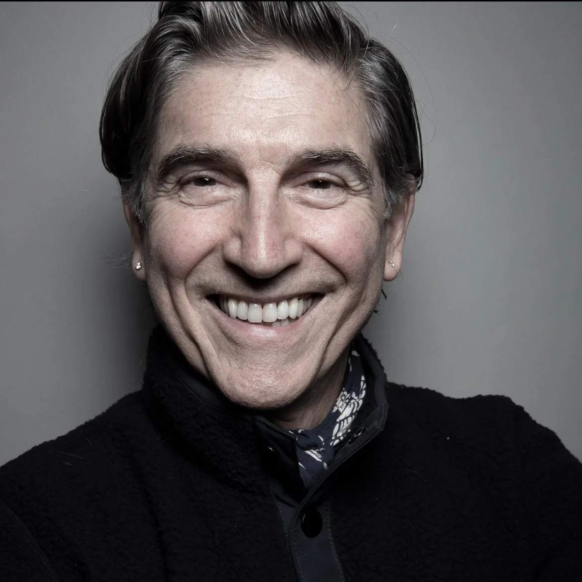
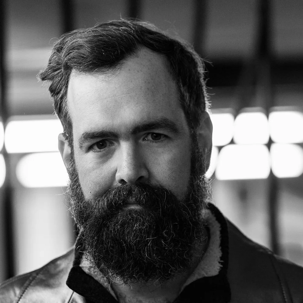
Ashley Gilbertson is an Australian photographer and writer living in New York City, recognized for his critical eye and unique approach to social issues. Gilbertson is a regular contributor to The New York Times, The Washington Post, ProPublica and UNICEF. Gilbertson's photography is in museum permanent collections across the world, including The Smithsonian, Centre Georges Pompidou, National Gallery of Victoria, Harvard Art Museum, The Museum of Fine Art in Houston, and The National September 11 Memorial Museum in New York.